Robotic Explorer Captures Breathtaking Geological Formation 140 Million Miles Away
Deep within the hostile terrain of Mars, an autonomous rover continues its extraordinary mission as humanity’s most distant field photographer. Operating at roughly 140 million miles from Earth, this mechanical explorer systematically documents the Red Planet’s dramatic landscape features with unprecedented clarity and technical precision.
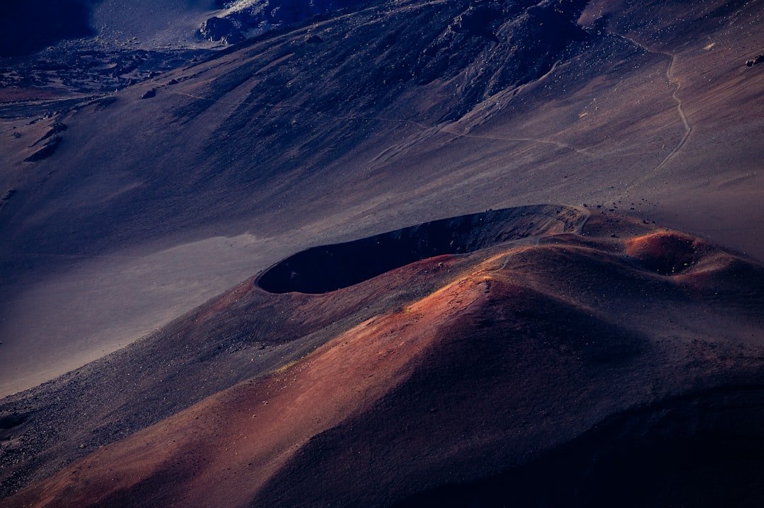
The latest remarkable image showcases a prominent butte—an isolated, flat-topped geological formation—rising majestically from the interior of a substantial impact crater. This particular photograph exemplifies the sophisticated imaging capabilities that modern planetary exploration rovers possess, delivering resolution and detail that rivals many terrestrial professional surveys.
Technical Achievement in Extreme Conditions
The accomplishment deserves recognition when considering the harsh Martian environment. Dust storms, extreme temperature fluctuations, and abrasive soil conditions pose constant threats to sensitive camera systems. Yet the rover’s optical instruments continue performing admirably, capturing images with remarkable fidelity despite these formidable obstacles.
From a photographic perspective, these images represent extraordinary achievements in remote sensing technology. The rover’s camera systems employ advanced filtering, computational processing, and algorithmic enhancement to render scientifically valuable imagery from an environment utterly inhospitable to human photographers. Where terrestrial documentary photographers might position themselves on challenging terrain to capture compelling compositions, this rover achieves similar visual impact through engineering innovation and persistent determination.
Scientific Value Meets Visual Impact
These geological formations provide crucial data for planetary scientists studying Mars’ ancient hydrological history and erosional processes. Buttes and similar structures reveal information about layered deposits, wind erosion patterns, and the planet’s complex geological narrative. However, the images also inspire broader public engagement with space exploration—demonstrating how rigorous scientific investigation can simultaneously produce visually stunning results.
The crater containing this butte formation likely represents a significant impact event, with subsequent erosion sculpting the distinctive isolated peak visible today. Each photograph collected by the rover contributes invaluable details toward comprehensive geological mapping of the region.
Advancing Planetary Documentation
This imagery exemplifies how space agencies continue pushing boundaries in remote imaging technology. Each successful photograph represents countless engineering decisions, software optimizations, and mission planning considerations. The rover itself functions as a sophisticated mobile imaging platform, navigating treacherous terrain while maintaining consistent documentation standards across its operational lifespan.
For photography and imaging enthusiasts, these Martian photographs demonstrate remarkable problem-solving in challenging environmental conditions. The compositions showcase natural geological drama, while the technical execution reveals meticulous attention to sensor calibration and image processing protocols developed specifically for planetary exploration.
As this intrepid mechanical explorer continues its systematic survey across the Martian surface, each captured image adds another chapter to humanity’s evolving visual documentation of our neighboring world. The butte rising from the crater floor represents not merely a geological feature, but a testament to human ingenuity and our persistent drive to observe and understand distant worlds.