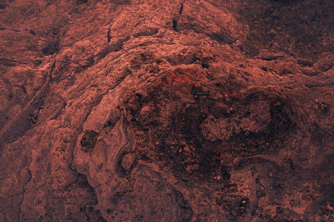
Planetary Imaging Breakthrough Applies to Archaeological Discovery
In a fascinating convergence of space exploration technology and terrestrial archaeology, computational imaging methods originally developed for enhancing Martian surface imagery have been successfully repurposed to reveal previously imperceptible ancient petroglyphs on Earth. This innovative application demonstrates how cutting-edge scientific instrumentation can transcend its original purpose to unlock historical mysteries.
The Technology Behind the Discovery
Researchers at NASA’s renowned Jet Propulsion Laboratory created sophisticated algorithms designed to augment the clarity and definition of satellite imagery capturing Mars’ complex geological formations. These computational enhancement protocols work by analyzing pixel-level data and reconstructing surface details that would otherwise remain obscured due to atmospheric interference, sensor limitations, and natural weathering patterns.
The methodology employs advanced contrast stretching, selective filtering, and spectral analysis to isolate significant visual information from noisy background data—a technique particularly valuable when working with deteriorated or faint source material.
Application to Terrestrial Rock Art
A dedicated enthusiast of rock art documentation recognized the potential for applying these NASA-developed computational techniques to ancient petroglyphic sites on Earth. Where traditional photographic documentation had struggled to capture faded or weathered artwork carved into stone surfaces, the sophisticated image processing methodology proved remarkably effective.
The technique excels at recovering visual information from aged or obscured rock surfaces by intelligently enhancing contrast and definition without introducing artificial artifacts. This capability proved invaluable for archaeological documentation purposes, allowing researchers to study and record petroglyphic details that had become barely perceptible to conventional photography.
Implications for Archaeological Documentation
This crossover application highlights an emerging trend in heritage documentation: leveraging high-performance computational imaging systems originally engineered for space-based remote sensing. The success of this approach suggests significant potential for future archaeological surveys.
For professionals in archaeological photography and documentation, these algorithms offer unprecedented capabilities for capturing and analyzing historical rock art without invasive intervention or potentially damaging preservation efforts. The non-contact nature of the technique makes it particularly valuable for protecting fragile or legally protected archaeological sites.
Technical Considerations and Future Applications
The effectiveness of space-based imaging enhancement technology for terrestrial applications underscores the interconnected nature of modern scientific instrumentation. Scientists and heritage professionals now recognize that sophisticated computational methods developed for planetary exploration contain practical applications across multiple disciplines.
As imaging technology continues advancing—driven by space exploration requirements—opportunities multiply for secondary applications in archaeology, conservation, and historical documentation. The convergence of these fields suggests increasingly sophisticated approaches to preserving and understanding our cultural heritage through technological innovation.
This discovery exemplifies how investment in space exploration generates unexpected benefits for terrestrial endeavors, demonstrating the broader value of scientific research beyond its immediate objectives.